OK this is not really 'walking across Toronto' (like my other recent posts) but it *is* another end-to-end exploration of a street :-)
Withrow Avenue runs from just east of Pape Avenue, to Broadview Avenue on the eastern bank of the Don Valley. It was named in honour of John Jacob Withrow, 1833-1900. He is also honoured with Withrow Public School on Withrow Avenue and nearby Withrow Park. This walk starts at the east end and goes west. Click on any picture to see a big version! Also part of this map.
Just east of the start of Withrow Avenue - City of Toronto subsidized housing.

I liked the look of this building. Turns out it is also the home of TWO WILLOWS ART STUDIO.

Can you guess where there was a fire and a new house built?

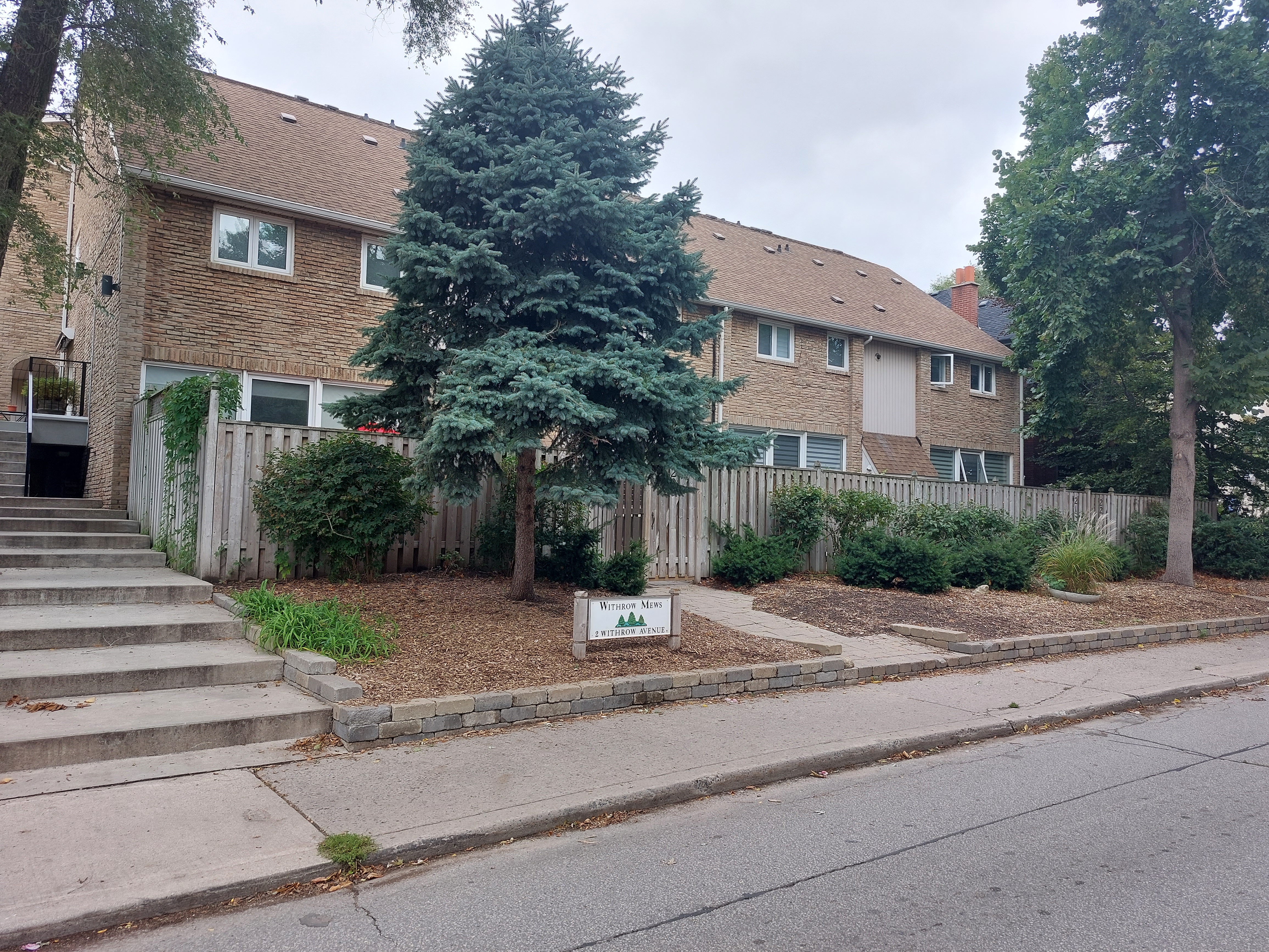
270 Withrow - house and coach house to the right. Just west of Pape Avenue (Named after Joseph Pape, a Yorkshireman who had a market garden at the corner of Gerrard and Pape).
See also: https://torontolife.com/real-estate/house-of-the-week-2-4-million-for-a-charming-riverdale-home-and-the-coach-house-is-even-nicer/

266 and 268 Withrow - 268 being the oldest house on the block (1895!)

267 Withrow - An episode of Flashpoint was filmed here - Season 2, Episode 1, 'Eagle Two', filmed in 2008 and first aired Jan 9, 2009.
The house where the Chilean maids were living was supposed to be in North York but was actually this house on Withrow Avenue in Toronto. And in a slight 'oops', the final scene where Ed Lane (of the Strategic Response Unit) relaxes in a hammock was filmed in the back yard of that same house. I assume he didn't know he shared a house with ne'er do wells.


Still a couple of small houses on the street! Just west of Carlaw Avenue (formerly Gorry Street) - which was named for Major John A. Carlaw, born 1840. He was Paymaster for the Grank Trunk Railway, and a property owner in the area.

Home to Deryck Whibley (from SUM 41; married Avril Lavigne) for a while.

Cool camper that I've seen here for 25 years or so.

Lots of stairs on the north side of Withrow just east of Logan.

Riverdale Perk. The 1934 City Directory noted that this address was
"Srigley John W (drugs)".

Looking north on Logan you can *just* see the beginning of Withrow Park (which is not actually on Withrow).

Interestingly, Logan Avenue was previously Logan’s Line, 1884, then Blong Street, 1889. It was named for the Logan family, local market gardeners, for one John Logan, a gardener, 1800-1870. Edward Blong belonged to the firm of Thompson, Flanagan and Blong, butchers. There was also Blong and Strachan, real estate. (From "The Streets of Riverdale").
And from a little earlier - the same corner of Logan and Withrow in 1905 (looking north I believe)

Cool-looking 'tunnel' under a house.


Withrow Avenue Public School - celebrated its 100th Anniversary in 2003, but the school's current building was constructed in 1972. There is also a plaque there:
Withrow Archaeological Site. “As long as 4,000 years ago this sandy knoll was the location of campsites for generations of native people. It provided an excellent lookout over the Don River Valley for observing game.”
Location: Withrow Avenue Junior Public School, 25 Bain Avenue.

To follow up on the plaque at Withrow School, this may be the approximate site of the Indigenous settlement/encampment/cemetery originally excavated in the mid to late 1880's.
see: http://heritageguide.oldtowntoronto.ca/pdf/first_nations_history.pdf
In the late 1880s, archeologist David Boyle examined an Indigenous cemetery disturbed during roadwork in the area. Boyle also found some artifacts like pottery fragments, a stone axe, etc. He also found a 7,000 year old slate point showing that Indigenous people have occupied these lands for thousands of years.
And from the a ROM webpage:
Slate Projectile Point
The ROM’s oldest confirmed artifact from the City of Toronto is a Laurentian Slate Point approximately 7000 years old from Withrow Ave.
• Artifact Age: Middle Archaic period (8000-4500 Years Ago)
• Artifact Description: A Laurentian-Archaic slate projectile point with one barb broken.
• Collection History: This projectile point was collected in 1886 by David Boyle, the original curator of the Ontario Provincial Museum. His collection of 50,000 objects formed the backbone of the ROM collection when it was transferred to the ROM in 1914.
• Approximate Site Location: Withrow Ave.
Also: https://ontarioarchaeology.org/wp-content/uploads/an1986-03.pdf
And from https://onegalstoronto.wordpress.com/2017/12/02/the-fourth-man/
...in June of 1886, a 15th century Iroquois settlement and ossuary, containing the remains of more than 100 individuals, was discovered just one block north on Withrow Ave:

(from the Annual Archaeological Report, 1889). The only thing I have found that shows a location is this map - surveyed for his development plan in March of 1886:

At the far west end of Withrow (it ends at Broadview Avenue) is Riverdale Park - on the eastern bank of the Don Valley. Also: https://maps.library.utoronto.ca/dvhmp/riverdale.html

Just down the hill is the Don River. The Indigenous name of the river was Wonscotonach which means variously either “burning bright point (thought by some to refer to the practice of torchlight salmon spearing on the river) or "the river coming back from the back burnt country". John Graves Simcoe, who wanted to make the area a British colony, decided to disregard its name and Native roots and instead he called it the Don after a stream in Yorkshire, England.
No comments:
Post a Comment